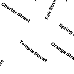
13 ORANGE ST
Owner Information
MOORE JONATHAN K
13 ORANGE ST
NEWBURYPORT, MA 01950


Property Details
13 ORANGE ST is classified as a Single Family Residential (Conventional).
The primary structure on this property was built in 1850. There are 4,513ft2 of built area within this property. There is 2,642ft2 of residential/living space within this property. This property is listed as having 120 rooms.
13 ORANGE ST is valued at $699,700. The land is valued at $250,300 and the structures are valued at $449,400.
This property is in Zone R3. Confirm with local Zoning Board authorities to ensure there are no overlays or other easements on this property.
The most recent deed for 13 ORANGE ST is recorded at the local registrar in Book 24773, Page 384. 13 ORANGE ST was last sold on Wednesday, August 31, 2005 for $650,000.
Assessment data from fiscal year 2021.
Flood Data
According to the FEMA National Flood Hazard Layer, this property does not appear to be in a flood zone. It may also be in an area not yet reviewed. Nonetheless, confirm this information prior to taking any action.
To view the flood hazards around this property, create a FEMA "Firmette" Map of the area around 13 ORANGE ST.
Broadband Internet Providers
| Provider | Type | Bandwidth (mbps) | |
|---|---|---|---|
| Viasat Inc | Satellite | 100 | 3 |
| Verizon New England Inc. | DSL | 15 | 1 |
| HughesNet | Satellite | 25 | 3 |
| Comcast | Cable | 1000 | 35 |
| T-Mobile | Fixed Wireless | 25 | 3 |
| VSAT Systems, LLC. | Satellite | 2 | 1 |
| GCI Communication Corp. | Satellite | 0 | 0 |
Broadband service provider data from December 2020.
Adjacent Properties
- 20 SPRING ST
Single Family Residential owned by PARR ANDREW R & MELISSA S TRS - 24 SPRING ST
Single Family Residential owned by VOLCKHAUSEN HELEN R - 52-56 FEDERAL ST
Other, Open Space owned by CONDO MAIN - 52 FEDERAL ST
CONDO MDL-05 owned by BARBIERI PAUL - 54 FEDERAL ST
CONDO MDL-05 owned by CAMPOS MARY CASSIDY - 56 FEDERAL ST
CONDO MDL-05 owned by STRAUSS JOAN L & MICHAEL T TRS - 58 FEDERAL ST
Apartments with Four to Eight Units owned by POLLAK RICHARD A TRS - 11 ORANGE ST
Other, Open Space owned by CONDO MAIN - 11 ORANGE ST UNIT 1
CONDO MDL-05 owned by GODTLAND STACI L - 11 ORANGE ST UNIT 2
CONDO MDL-05 owned by DINGWELL ROBERT